|
|
Burnt Rock Mountain (3160 feet) |
The most natural approach to Burnt Rock Mountain is via the Hedgehog Brook Trail and the Long Trail (2.6 miles; elevation change: 2000 feet, average grade: 770 ft/mi). The trail head is on Big Basin Road. There was space for parking for a number of cars. The road continues past the parking area in theory, but in practice the parking area is effectively at the end of the road. The trail crosses private land, so please observe no parking signs as appropriate.
The Hedgehog brook trail immediately crosses Shepard Brook. The crossing was easy today, but the water level was low. In high water conditions, the crossing might be tricky. The trail ascends gradually through a nice forest, but the steepness increases greatly as it approaches the Long Trail. The last 0.5 mile, or so, was quite steep and rugged, making the trail more difficult that the statics above might suggest.
Once the ridge is reached and the Hedgehog Brook Trail connects with the Long Trail, the grades are easier in general. However, the Long Trail on the way to the summit is also very rocky with a number of rock scrambles needed. At one point I lost the trail; it turned abruptly left into a rocky notch while the path straight ahead was well packed and trail-like. I obviously wasn't the first person to miss that turn. There were some branches across the path as an indication that I had gone the wrong way, but they were sparse and resembled ordinary blow-down. The Long Trail's blazes were also not as clear as I might have liked. Be careful!.
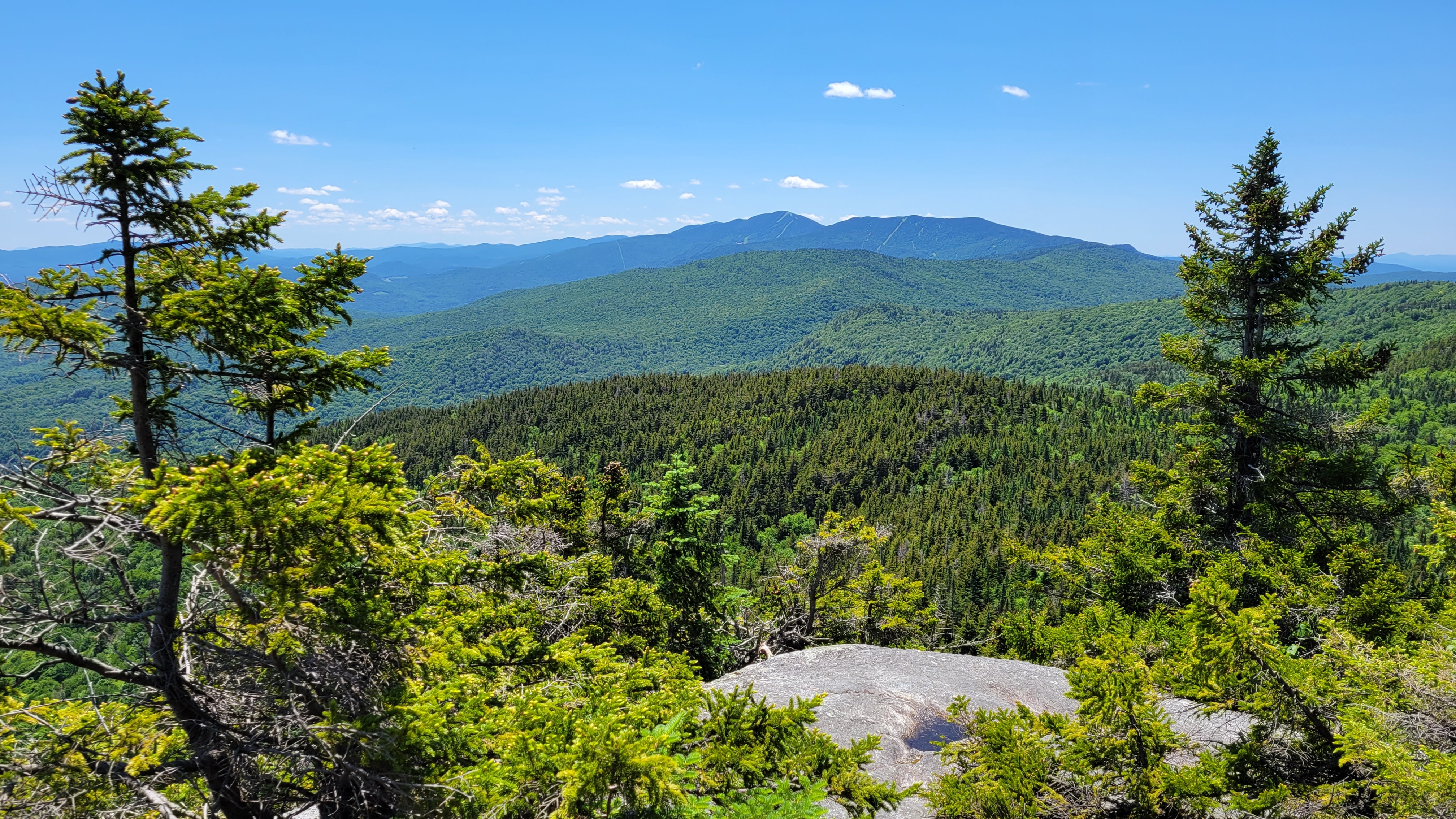
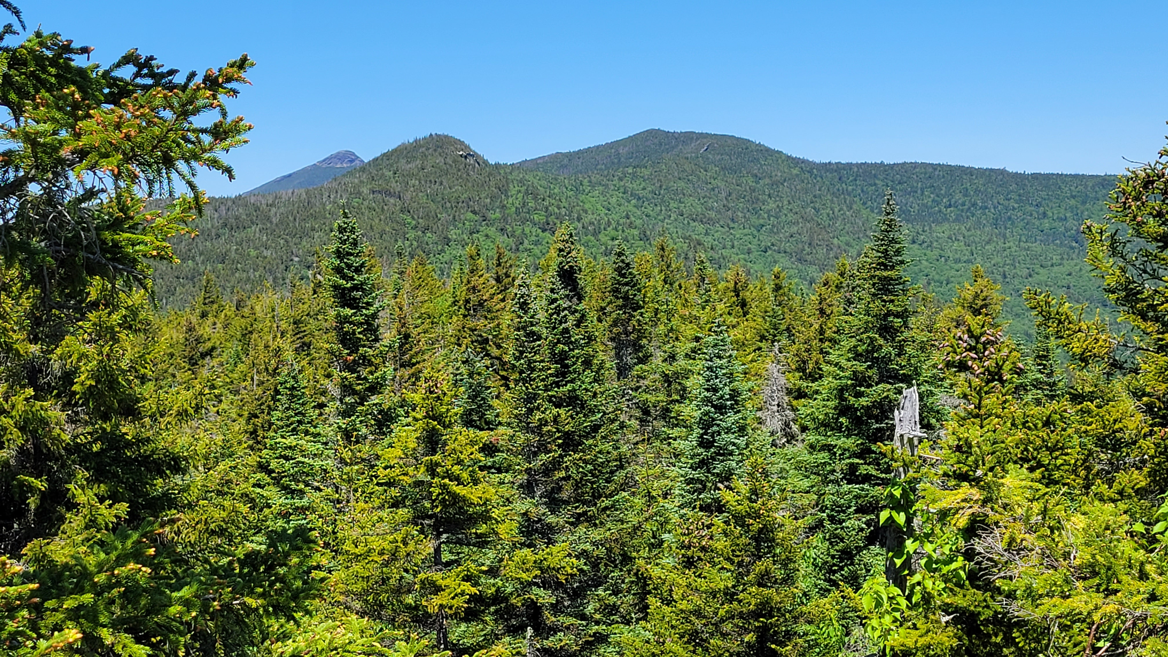
There were many good views from the Long Trail as it approached the summit. I don't know if the summit was once cleared due to a forest fire, but the name certainly suggests that. In any case, there were excellent views to the south (with Mt. Ellen and beyond visible) and east (with the White Mountains visible). The summit itself is partially forested, but there are also several places where you can sit and admire the view. The picture to the right was taken from the summit showing Camel's Hump, Mt. Ira Allen, and Mt. Ethan Allen (from left to right). Note that Mt. Ira Allen is not on this 100 highest list because it fails the 200' criteria.
Return to the Vermont 100 highest list.